Fort Route routes for your rig, then builds your 30-minute break and 10-hour rest into the trip at real truck stops and rest areas. The arrival time you see is one you can legally make.
Not ready to test it? Join the waitlist and we’ll tell you when it’s in the App Store and Google Play.
Warminster, PAChicago, IL
774 mi · 13′6″, 80,000 lb, 5 axles · Eastern time
Leave Warminster, PAFull clocks: 11 h drive, 14 h shift
10-hour restTruck Parking Westbound, Middlebury, IN · mile 652
Arrive Chicago, IL12 h 52 min of driving, 10 h 30 min of restLegal arrival
A real plan from the Fort Route app: leaving Monday at 6:00 AM with full clocks. Your ELD is the legal record of your hours.
One trip. Every rule on the way.
Follow one real plan from Warminster, PA to Chicago, IL and see where each part of Fort Route takes over.
Routes for the truck you’re actually driving
Set your height, weight, length, axles and hazmat once. Fort Route avoids the low bridges, weight limits and restricted roads in its map data, and keeps you on truck routes instead of neighborhood shortcuts.
Up to 3 route options, labeled fastest, shortest or toll-free from the route itself
Up to 8 stops in one trip, with your time on duty at each
Tell Fort Route how much time is left on your clocks. It plans the trip around the 11-hour, 14-hour, 8-hour and 70-hour limits and shows where each break lands before you leave.
Your 30-minute break and 10-hour rest placed at truck stops and rest areas on your route
Time on duty at pickups and deliveries counted against your 14-hour window
Spoken reminders 30 and 10 minutes before a planned break
From your tank size, fuel on board and mileage, Fort Route works out where to buy and how much, and favors stops where your hours plan already parks you.
Keeps a 15% reserve in the tank
Diesel priced from weekly regional averages, plus the prices you enter at the pump
Stops and times from a real plan · road alerts illustrative
Stops you can plan around
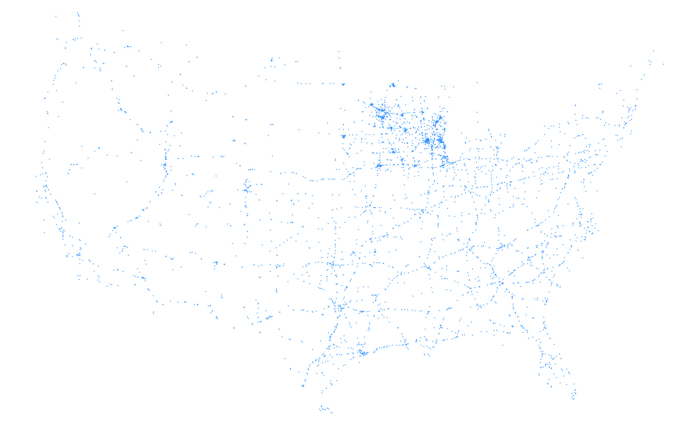
53,582 truck stops, parking lots, rest areas, weigh stations and truck services, each checked against current sources in November 2026. Every place shows when and how it was checked.
Amenities labeled by evidence: listed by the chain, usually there, or confirmed by you
Official truck spot counts for rest areas and lots from the USDOT survey
Weigh stations with posted hours, and one-tap open or closed reports
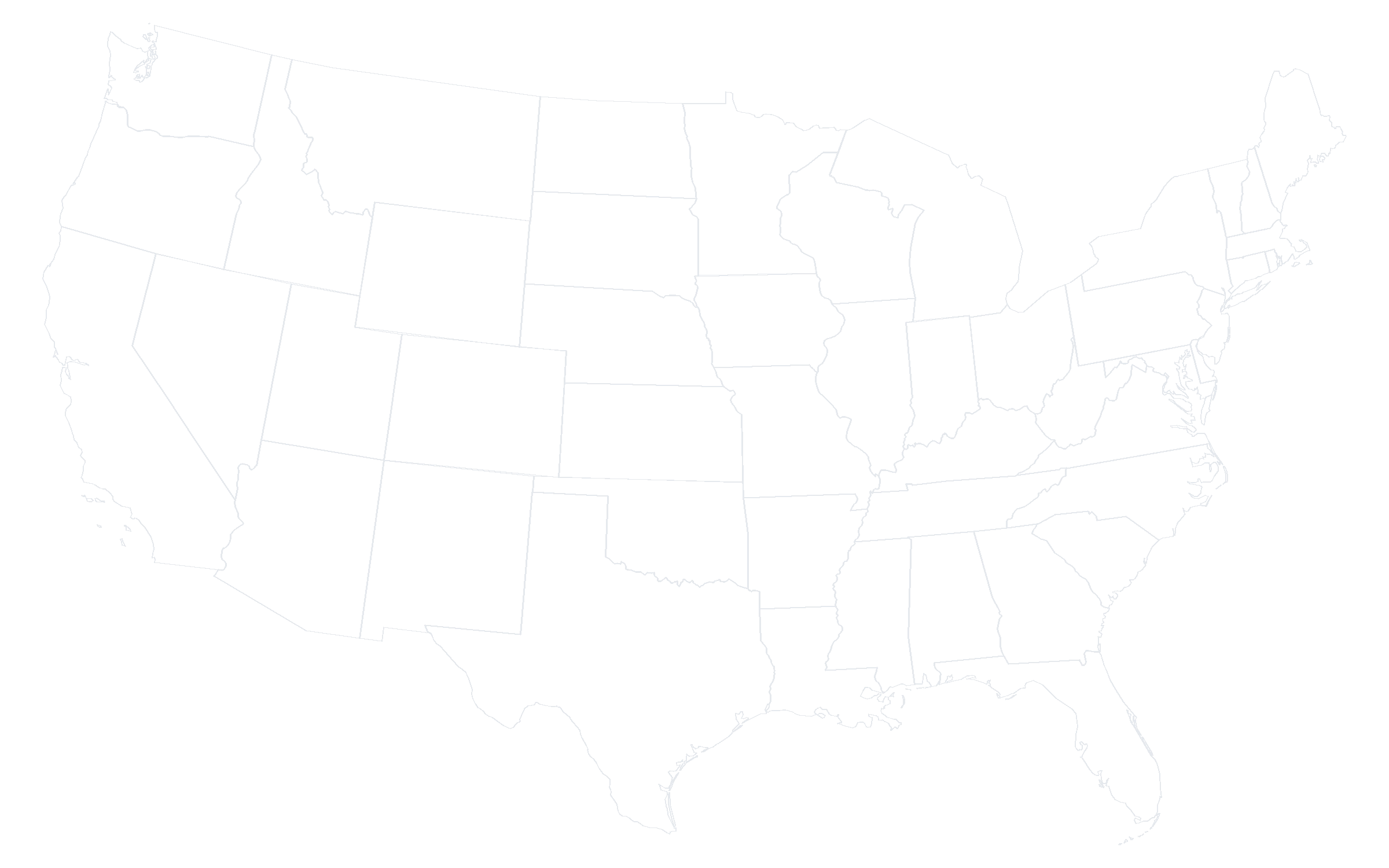
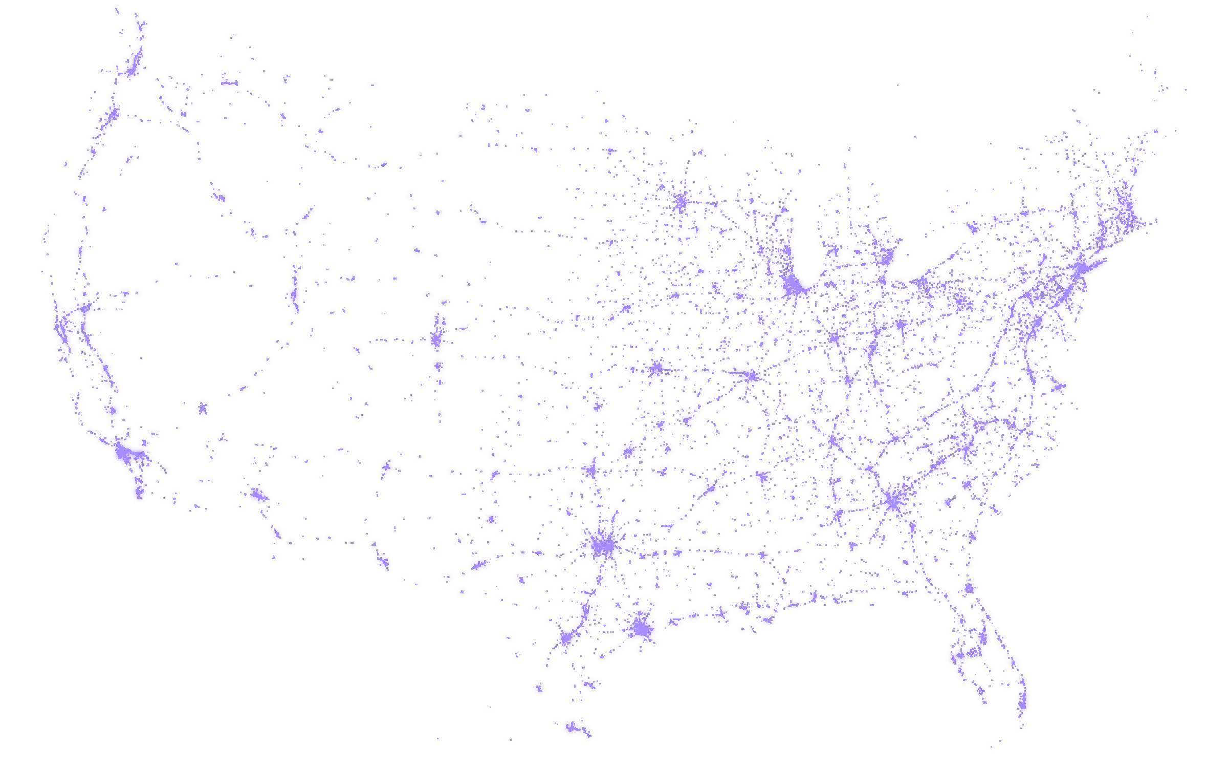
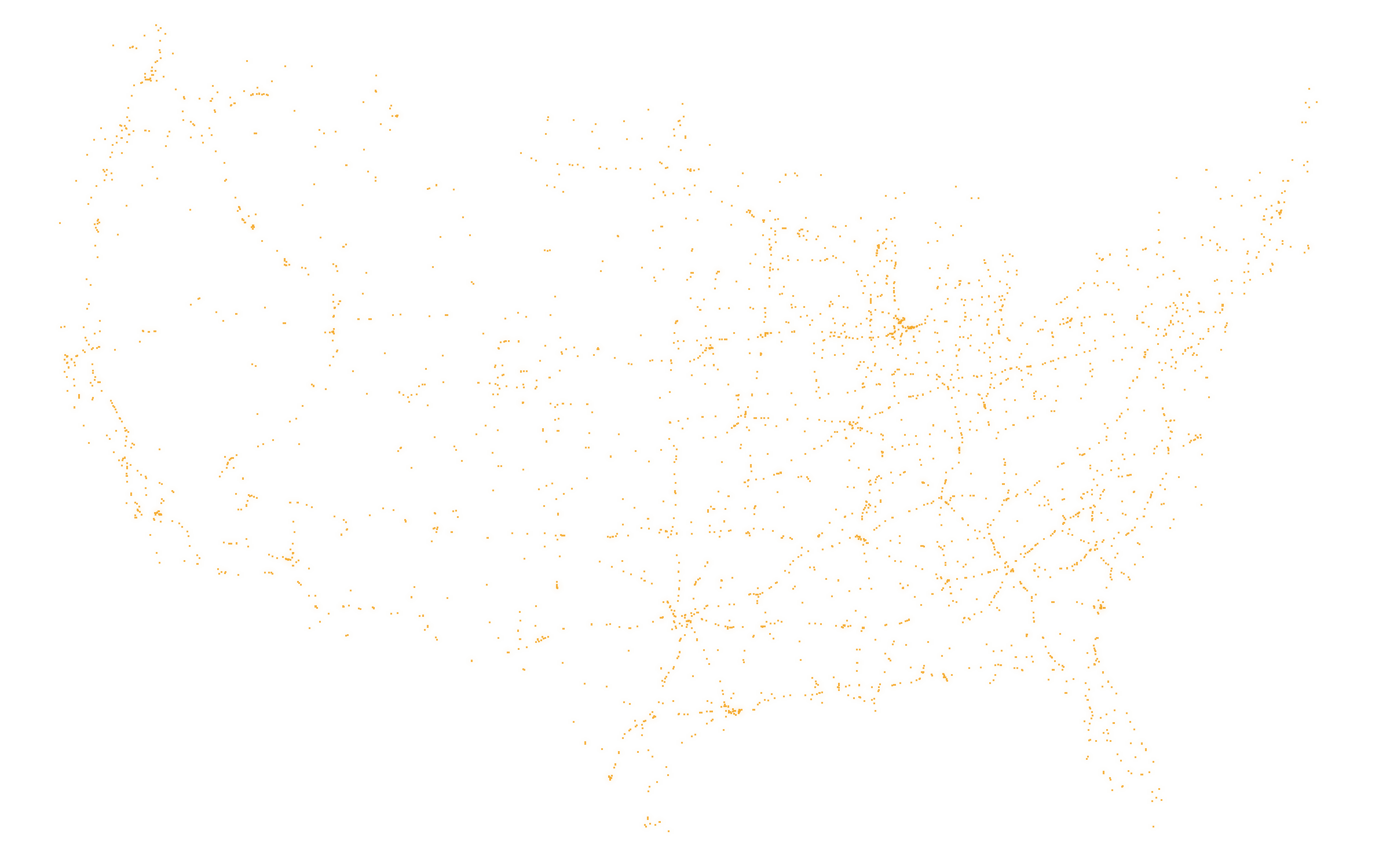
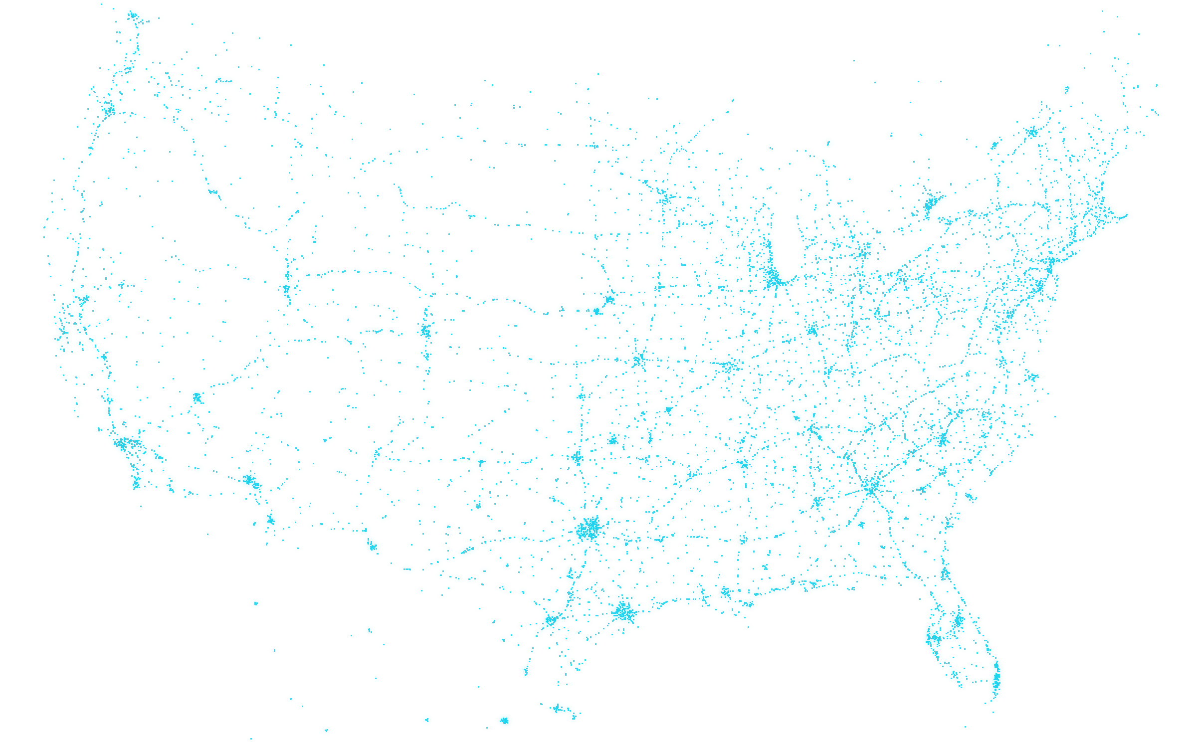
Map of the contiguous United States with 53,582 checked places. They follow the Interstate network.
Checked November 202653,582 places
Warnings that arrive early
Road work, speed limits, cameras and grades from public sources, read along your route and in your direction of travel.
Road work alerts
Live work zones from 17 state and city DOT feeds, matched to your direction and the hours you’ll pass.
Work zone in 2 milesRIGHT LANE CLOSED · LIMIT 55
Weather alert on your routeNATIONAL WEATHER SERVICE
Speed limits
Posted limits and statewide truck limits on about 95% of tested routes, with one quiet warning at 5 mph over.
Speed limit55Trucks
61mph
Traffic cameras
Live DOT cameras on your route, out of 12,999 Fort Route reads. Images hide while the truck is moving.
Steep grades
Long downgrades of 5% or more, called out by voice 2 miles before they start.
Dashed line: voice alert 2 mi before · downgrade 5%+
Made to be read from the cab
Real screens from the Fort Route beta: the trip plan, turn-by-turn guidance and the hours rings.
9:41
9:41
9:41
Built on data you can check
Fort Route uses open and public data, names every source, and says “unknown” when it doesn’t know. A missing answer is safer than a confident wrong one.
53,582 truck stops, parking lots, rest areas and scalesEach checked in November 2026 against chains’ current location lists, business listings and closure notices.
OpenStreetMap · Overture Maps · All the Places · USDOT
12,999 live traffic camerasCamera feeds published by state transportation departments.
8 state DOT camera networks
Road work from 17 DOT feedsWork zones with lane closures, dates and reduced speed limits where the feed has them.
Work Zone Data Exchange (WZDx)
Diesel prices by regionWeekly regional averages, plus the prices you enter at the pump.
U.S. Energy Information Administration
Weather alerts on your routeWarnings for the areas your trip passes through.
National Weather Service
Built for the way you run
Owner-operators
Know what a load pays per mile before you take it, then keep IFTA miles and per diem days without a spreadsheet.
Fort Route is a truck GPS for US drivers. It routes for your truck’s size and weight, plans your required breaks and 10-hour rest at real stops on the way, and shows an arrival time that already includes them.
How much does it cost?
Nothing. Fort Route is free during the beta and for the first year after launch, and there’s no credit card to enter.
Does it work on iPhone and Android?
Yes. During the beta Fort Route runs in the browser on both, and you can add it to your home screen. Apps for Google Play and the App Store are planned. See Get the app.
Does Fort Route replace my ELD?
No. Fort Route plans trips around the time left on your clocks, but your ELD is the legal record of your hours. You enter your clocks in the app; it doesn’t connect to ELDs yet.
Does it have live traffic?
Not yet. Fort Route reads live road work, traffic cameras and weather alerts from public sources, but not live traffic speeds. It’s on the roadmap.
Where does it work?
Routing covers the United States. Canada and Mexico are on the roadmap.
Plan your next run with Fort Route
Join the closed beta and we’ll email your invite code when the next group of drivers is added. Free during the beta and for the first year after launch.